Ozark Land Prices Near Waynesville & Pulaski County
October 16, 2025
October 16, 2025
Shopping for acreage around Waynesville but not sure what a fair price per acre looks like? In the Ozarks, two tracts only a few miles apart can be priced very differently. You want land that fits your plans and budget without surprises. This guide explains what drives prices near Waynesville, how features shift value, and the key checks to make before you write an offer. Let’s dive in.
Proximity to Fort Leonard Wood supports steady housing and rental demand, especially for homesites and smaller acreages within an easy commute. Regional planning and the Fort Leonard Wood Joint Land Use Study highlight how base activity and nearby land use are closely linked. That local demand can translate into stronger pricing for buildable parcels.
Interstate 44 connects Waynesville to larger markets, which helps commuting, tourism and commerce. Local economic materials emphasize I-44 access and the jointly operated regional airport as market advantages for Pulaski County and Waynesville–St. Robert. Parcels with quick access to the corridor often command premiums compared with remote tracts. Explore the local context through Pulaski County’s economic resources.
The Ozark Plateau’s public land footprint shapes demand for private acreage. Proximity to large public tracts, including the Mark Twain National Forest, makes nearby private parcels attractive for hunting, cabins and weekend use. Recreational appeal and timber value can create a price floor, even when a tract is not prime cropland.
Broad market forces set the backdrop. The USDA NASS Land Values Summary reports continued year-over-year gains in farm real estate values, and Missouri generally trails top Corn Belt states but has shown steady appreciation. MU Extension’s Missouri Farmland Values Opinion Survey notes that interest rates, limited inventory and investor demand influence cropland, pasture and recreational land across the state.
Smaller, build-ready acreages of 1 to 10 acres with utilities and road access often sell for a higher price per acre. Larger timber or hunting tracts, especially 20 to 100 plus acres, can trade at lower per-acre levels. Very large tracts may include more rugged, non-tillable ground that reduces per-acre value.
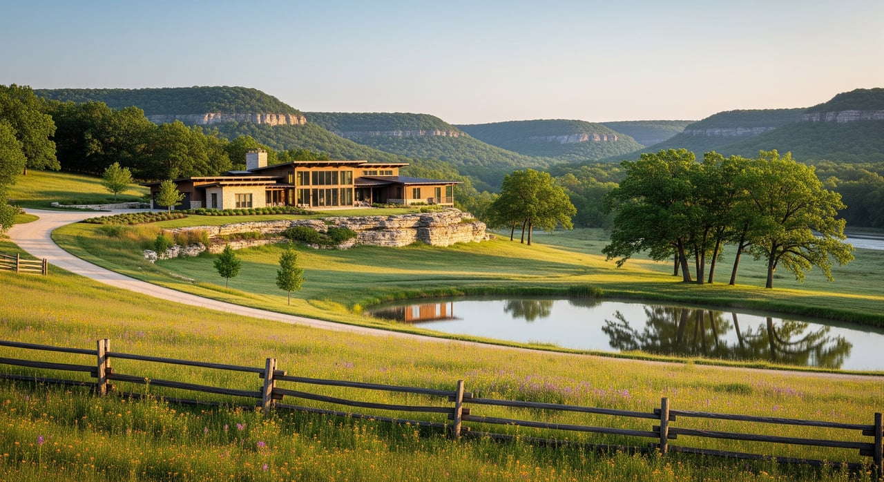
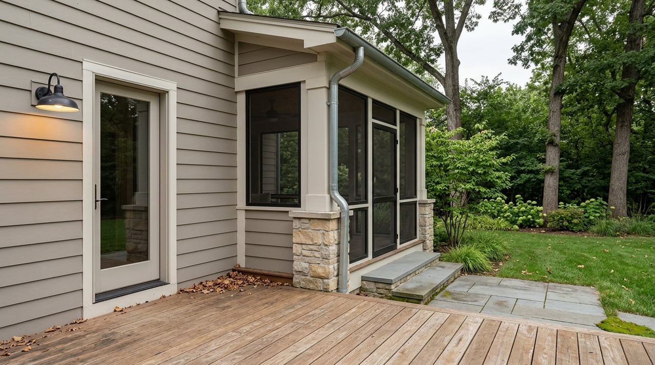
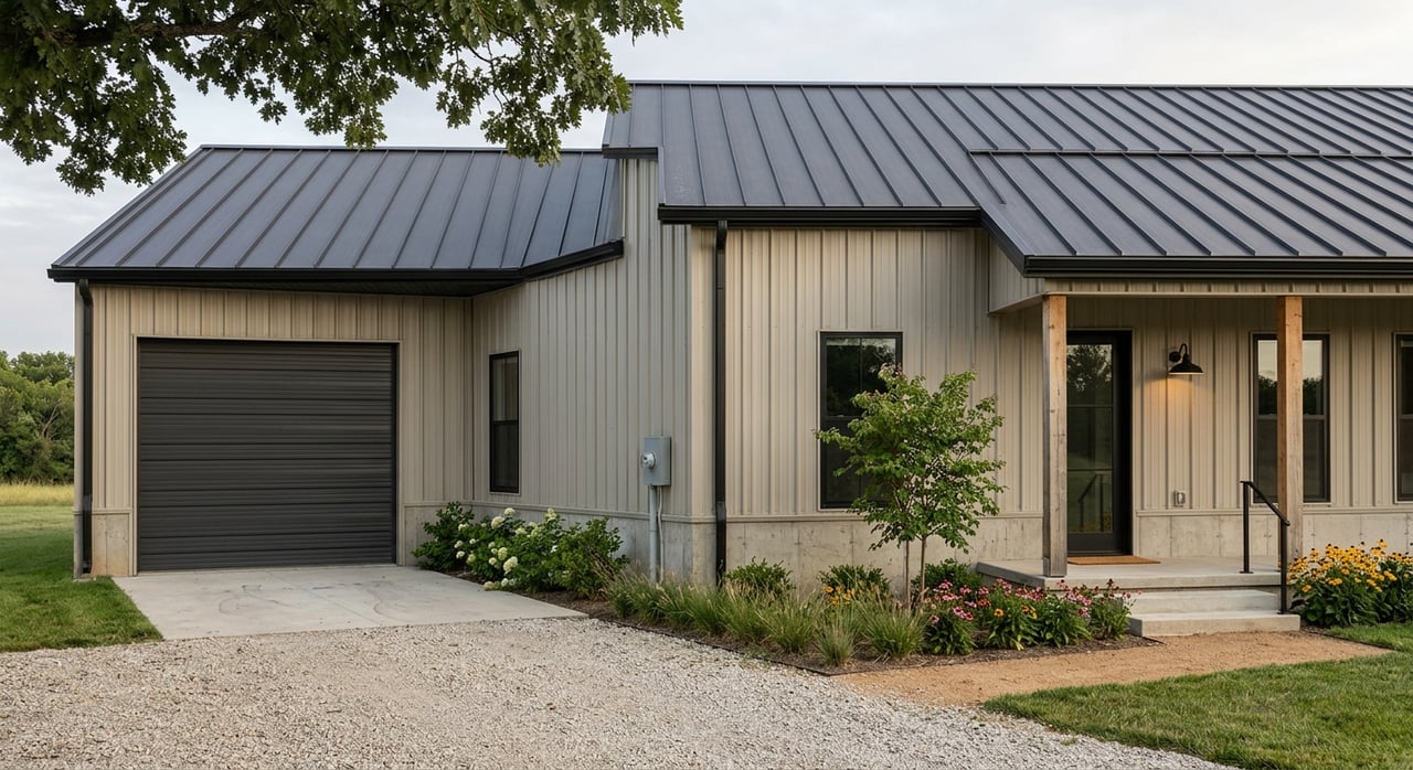
Gentle ridgelines and benches are easier for driveways, wells and septic systems, which lifts value. Steep hollows, rocky outcrops and cliffs reduce usable acres. A site that is simple to build on is usually worth more.
Availability of power, water and sewer can materially increase price. Parcels that require a well, septic, soil testing and long power runs often trade at a discount. Confirm service locations early to avoid surprises.
Springs, ponds and frontage on the Big Piney, Roubidoux or local creeks add recreational and aesthetic value. Parts of these tracts may sit in a floodplain or have wetlands that limit building sites. Factor any permitting or setbacks into your plans.
Merchantable timber can add value and future income, along with management responsibilities. If timber is important to your purchase, request recent inventories and harvesting records. Conservation easements or program enrollments, such as the Forest Legacy Program, can affect development options and resale.
Start with the Pulaski County Recorder of Deeds and the assessor for deeds, parcel descriptions, easements and tax history. These offices are the definitive sources for recorded documents and past sales. You can locate contacts through the Pulaski County Recorder of Deeds resource.
A permitted septic system and approved well reduce risk when you plan to build. If a parcel lacks approvals, you will need soil tests, a licensed installer and county health permits before utilities or building permits are issued. For an overview, review Missouri guidance on zoning and building considerations and tiny-home and utility regulations that touch on septic and permitting.
Stream and river frontage can trigger FEMA floodplain rules or wetlands permitting. Check flood maps and ask about any known environmental constraints. Buildable area, foundation type and insurance needs may be affected.
Ongoing carrying costs matter. Pull parcel tax cards, assessed values and any special assessments through the county assessor or treasurer. You can start with the Pulaski County property tax records.
Use statewide and regional reports for context, then shift quickly to local sold data. MU Extension reports that recreational and hunting tracts in southern Missouri often sell in the low to mid thousands per acre, while productive cropland and improved pasture bring more. The exact number depends on buildability, water, utilities and location near Waynesville or I-44.
Asking prices do not equal value. For true comps, rely on recorded sold data and local MLS sales. The Pulaski County Recorder of Deeds and a local MLS search are your best sources for verified sale prices.
Whether you want a buildable homesite close to I-44 or a timbered recreational tract, the right strategy starts with verified data and a clear plan. If you need help pulling records, confirming utilities and pricing your land with confidence, we are here to help. Connect with The Closers Real Estate Team for local guidance and a smooth path to the closing table.
Stay up to date on the latest real estate trends.
buyer
with Sasha Spachmann
featured listing
with Sasha Spachmann
buyer
with Jenna Davis
buyer
with Kelsey Davis

buyer
with Tina Nash

buyer
with Kevin Garner
Get assistance in determining current property value, crafting a competitive offer, writing and negotiating a contract, and much more. Contact us today.