Property Surveys in Salem MO for Buyers and Sellers
January 22, 2026
January 22, 2026
Buying or selling 1 to 20 acres around Salem can raise a lot of questions about boundaries, driveways, and where buildings actually sit on the land. You want a smooth closing and confidence in what you own. This guide explains how property surveys work in Salem and Dent County so you can choose the right survey, know what lenders and title companies expect, read a survey plat, and plan costs and timelines. Let’s dive in.
A professional property survey confirms where your boundaries are based on recorded deeds, plats, and physical evidence on the ground. In Dent County, many rural parcels are unincorporated with limited land-use controls. Rules for setbacks and permits can differ between the City of Salem and the county, so it helps to know which jurisdiction your land falls under.
Recorded deeds, plats, and easements are kept by the Dent County Recorder of Deeds. The Dent County Assessor maintains parcel maps and assessed acreage. For creek or river frontage, mapped flood hazard zones are available through the FEMA Flood Map Service Center, which can affect how you use the land and what lenders or title companies may require.
Surveys in Missouri must be prepared, signed, and stamped by a licensed professional land surveyor. You should verify a surveyor’s license with Missouri’s Division of Professional Registration and confirm professional liability coverage before you hire.
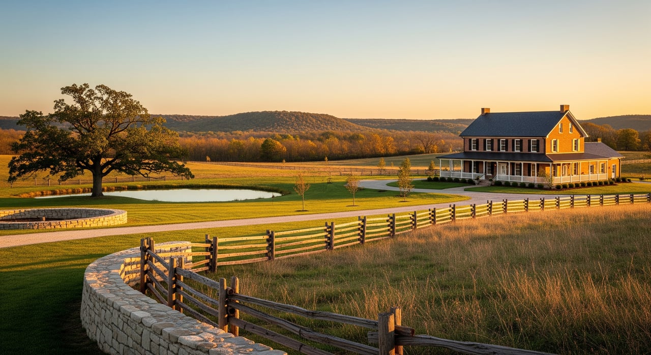
A boundary survey locates and marks property corners and lines using the deed description and field evidence. It is useful when you want to confirm acreage, address a fence or building that might cross a line, or clear title issues. On rural tracts, original corner monuments can be lost, and older metes-and-bounds descriptions may be vague, so a boundary survey brings clarity.
An ALTA/NSPS survey follows a national standard commonly used when a lender or title insurer wants comprehensive detail. It shows improvements, easements, rights of way, and title matters to a higher standard of care. For 1 to 20 acre parcels with multiple outbuildings, shared driveways, or access questions, an ALTA survey can reduce title risk, though it costs more.
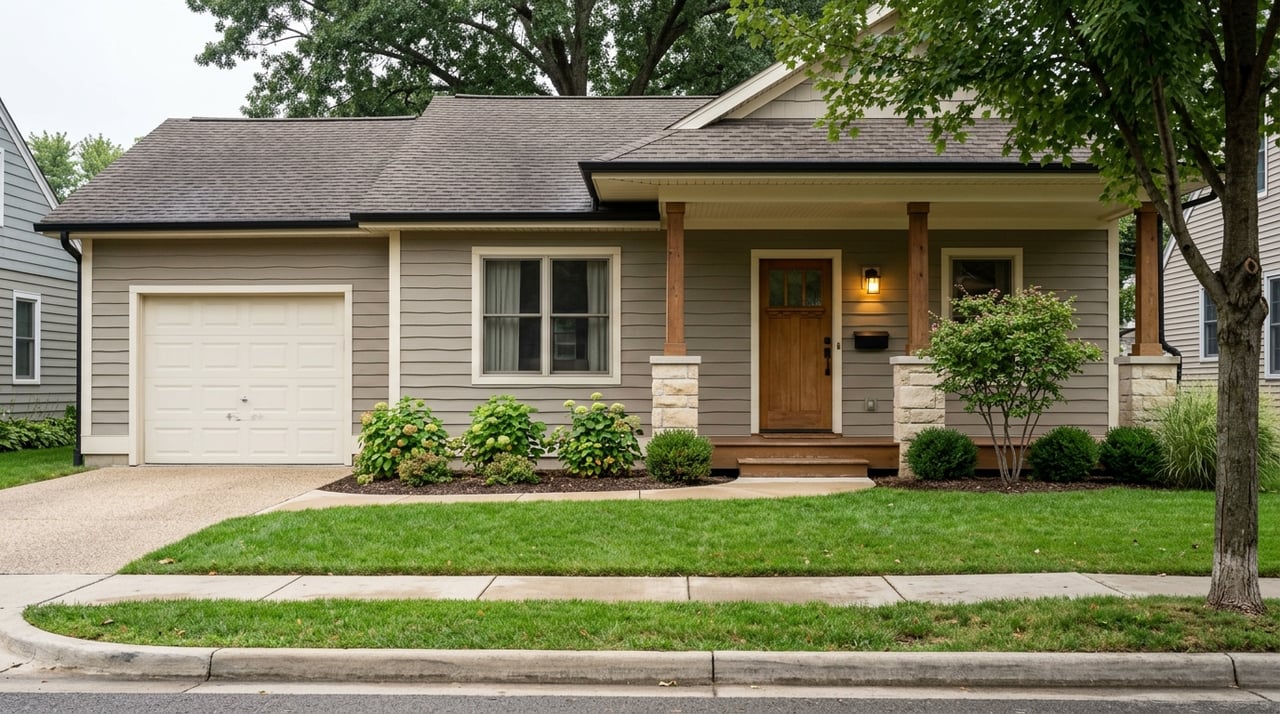
A location survey, sometimes called a sketch or mortgage inspection, shows the position of visible improvements relative to the boundaries with less research than a boundary or ALTA survey. Many residential lenders accept a recent location survey when the property is simple and there is no sign of encroachment. It is not enough if there are easement or access questions or if your lender or title company requires ALTA-level detail.
A topographic survey maps elevations and contours for site planning. If you plan to build a house, driveway, or septic on sloped land, topo data helps estimate costs and design a safe, workable layout. In hilly or creek-side areas of Dent County, topo information can be vital.
If you plan to divide a larger tract into new lots, you will need a subdivision or lot split survey and a recorded plat. If you recently split land, make sure the recorded plat matches your title documents before you list or sell.
Requirements vary, but common triggers include:
For 1 to 20 acre rural parcels, lenders also look closely at legal access and whether structures sit inside easements or flood zones. If you reach the land by an unrecorded road, you may need a survey that documents a recorded easement or agreement.
Understanding the key parts of a plat helps you spot issues early.
Look for the surveyor’s name, license number, date, client, and certification language. The stamp and signature show professional responsibility and that the work meets Missouri standards.
The plat should include the deeded legal description and the calculated acreage. Compare the survey acreage to your deed and the county’s assessed parcel to understand any differences.
The north arrow shows orientation, and the scale tells you how to read distances. This matters when you check setbacks from lines.
Metes-and-bounds lines use bearings and distances, such as S 12°34’56” E 450.00’. The basis of bearing explains how the surveyor aligned measurements with section corners or a coordinate system.
Found or set monuments, like iron pins, pipes, or stones, mark the corners. In rural Dent County, older monuments can be missing or disturbed, so the surveyor’s notes about corners are important.
Buildings, wells, septic tanks and drainfields, driveways, and fences are shown relative to lines. If a fence sits inside your boundary, the fence is not the legal line, which can signal an encroachment to address.
Recorded road, utility, and ingress or egress easements appear on the plat. On rural parcels, pay attention to county road rights of way and any private driveway or utility easements that cross the land.
The plat may list neighboring parcels, deed references, and recorded plat book and page numbers. These help confirm adjoining ownership and any recorded restrictions.
When included, flood zone limits and stream centerlines appear on the plat. If your land borders a creek or has seasonal ponds, knowing where flood zones sit can affect plans for buildings and financing.
Survey notes often list recorded easements, deed exceptions, mineral reservations, or title exceptions found during research. These can affect how you use the property and what a lender or title company will insure.
Here is how a typical survey moves from start to finish:
Timelines vary by scope and schedule. A location or mortgage inspection can take a few days to two weeks. Boundary or ALTA surveys for 1 to 20 acres often take 1 to 4 weeks, depending on terrain, vegetation, and research. Subdivision, topo, or surveys that require easement negotiations can take longer.
Costs depend on acreage, access, terrain, improvements, research, and the survey standard. Rough planning ranges for this region include:
Heavily wooded land, steep slopes, and remote access usually add time and cost. Always get a written estimate that spells out research, monument setting, topo, number of plats, and any recording fees.
When you understand how surveys work in Salem and Dent County, you can make cleaner offers, avoid surprises, and protect your property value. If you are planning to buy or sell acreage, we can help you choose the right survey, line up trusted local pros, and stay ahead of lender and title requirements. Reach out to the team at The Closers Real Estate Team when you are ready to talk strategy.
Stay up to date on the latest real estate trends.

buyer
with Kevin Garner

active under contract
with Jenna Davis


buyer
with Jenna Davis
buyer
with Jenna Davis

active under contract
with Kelsey Davis

acreage
with Tina Nash

buyer
with Kevin Garner
Get assistance in determining current property value, crafting a competitive offer, writing and negotiating a contract, and much more. Contact us today.